The Lodge, Fairfax, CA c. 1906-1912?
Atop White's Hill or White Hill , Sir Francis Drake Blvd. I was early to meet the Old Spokes at Roy's Redwoods. So, I took a detour down San Geronimo Valley Drive.
San Geronimo Valley Drive, Woodacre.
ROCKET PRESS, San Geronimo Valley Drive, Woodacre.
Redwood Drive, Woodacre. c. 1981.
Redwood Drive, Woodacre. c. 1963,
Roy's Redwoods trailhead on Nicasio Valley Road, a redwood forest that looks remarkably like the one where the Ewok Village from Star Wars is found - because it is! It was the filming location for many of the Ewok forest scenes in Star Wars, Return of the Jedi.
He told us how we could take the Cross Main Trail & avoid Sir Francis Drake Blvd. thru Samuel P. Taylor Park. We were quite aware of it but politely listened. We did take it on the return.
At Toby's Feed Barn, Pt. Reyes Sta.
-
-
-
Tomales Bay Oyster Company …and the pursuit of happiness!
-
Pt. Reyes - Petaluma Rd.
-
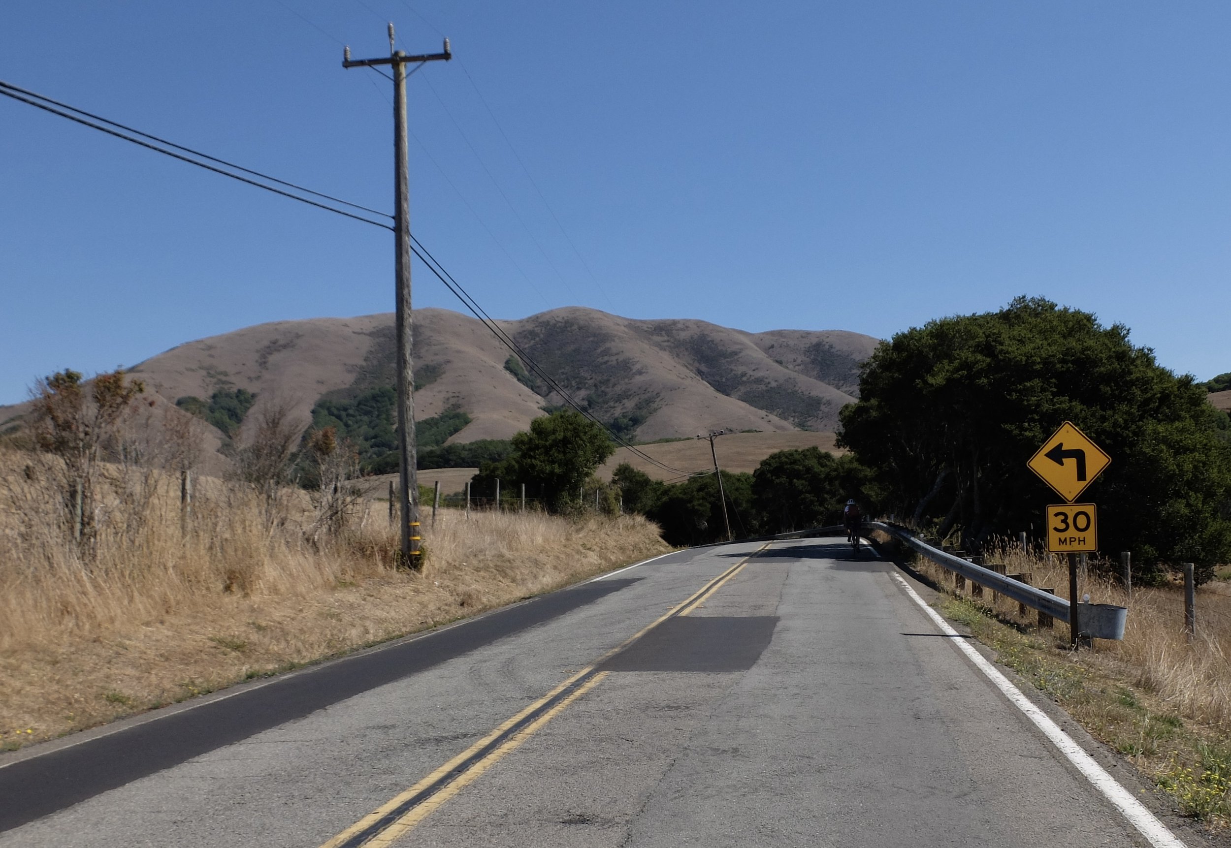
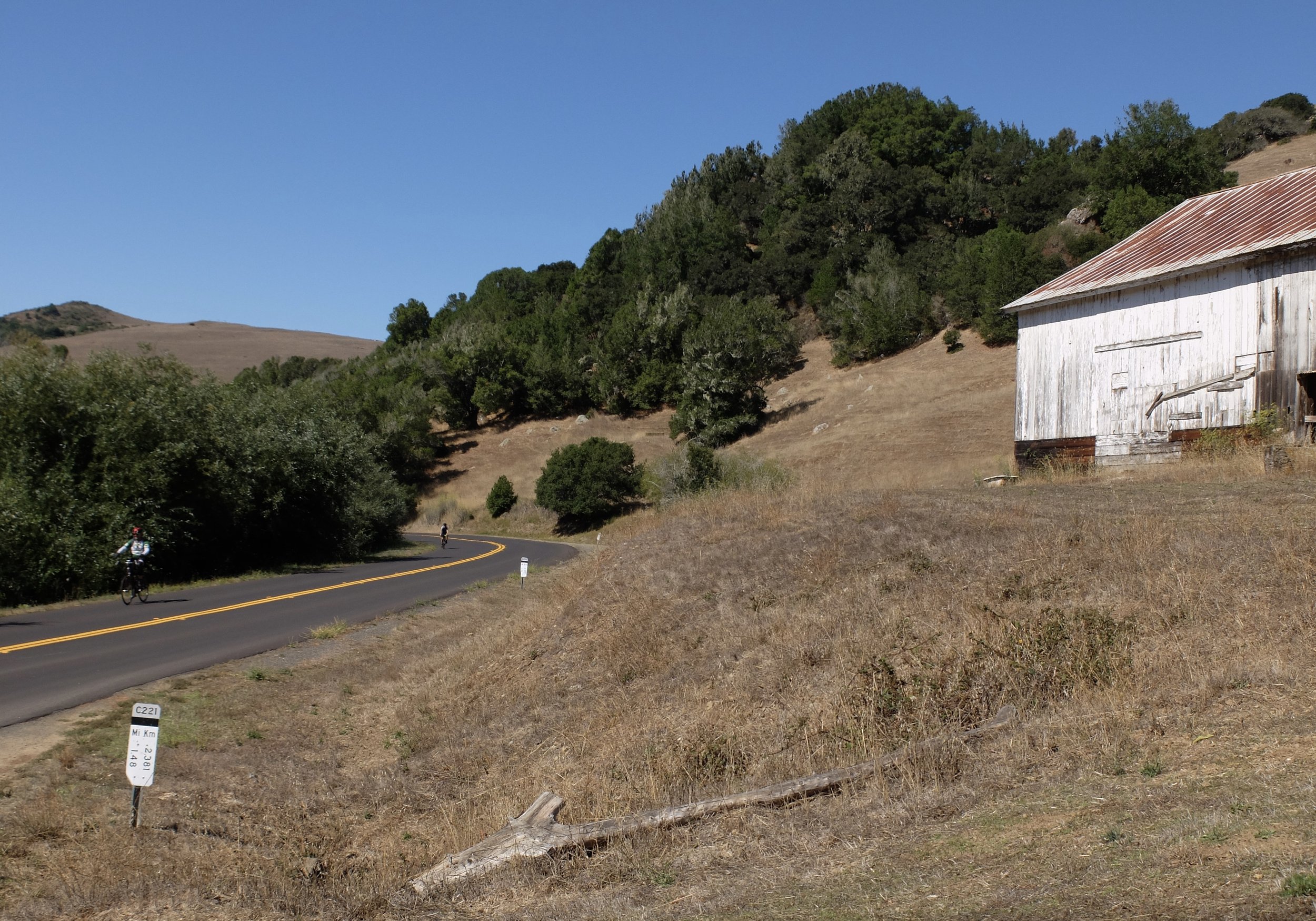
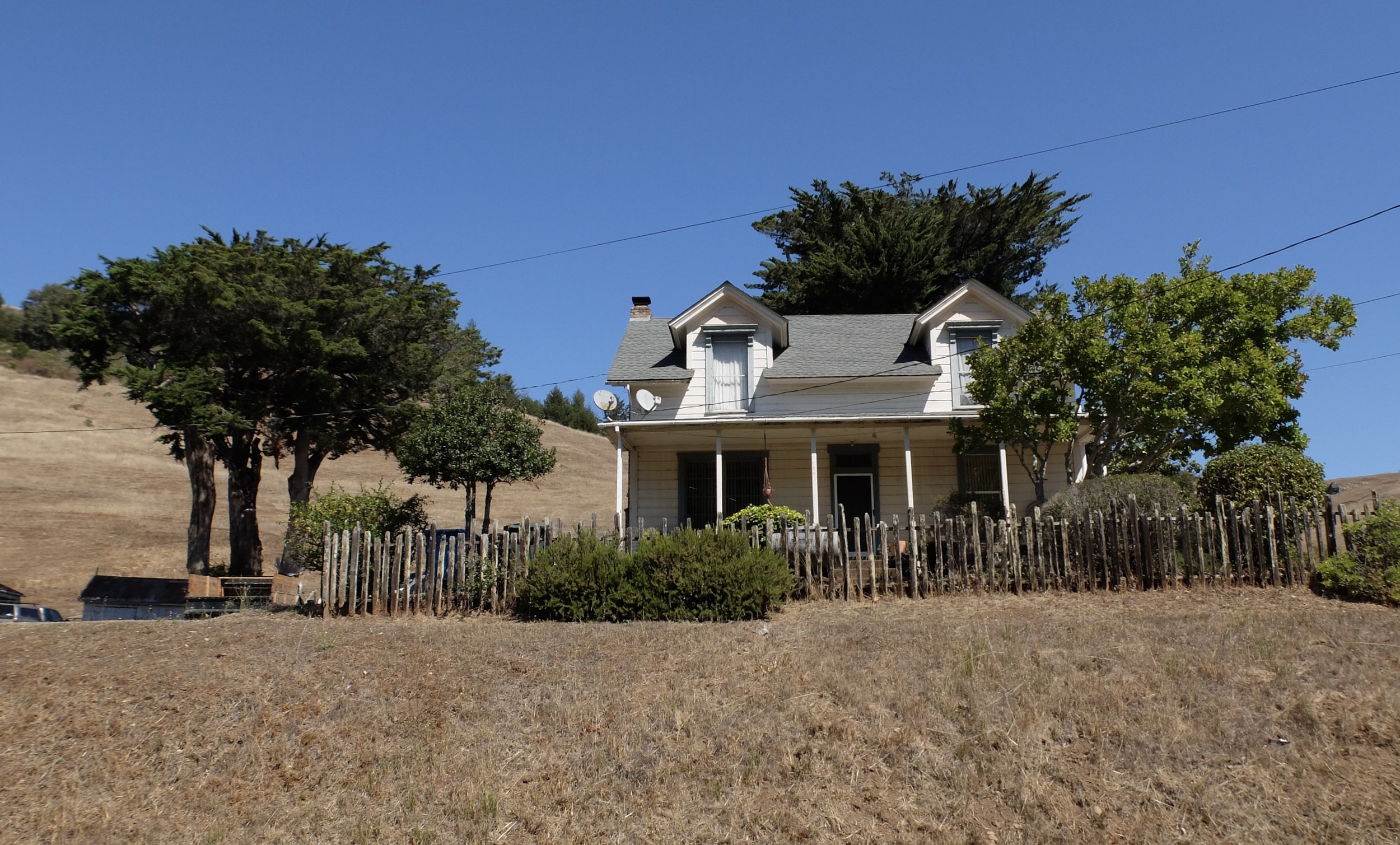
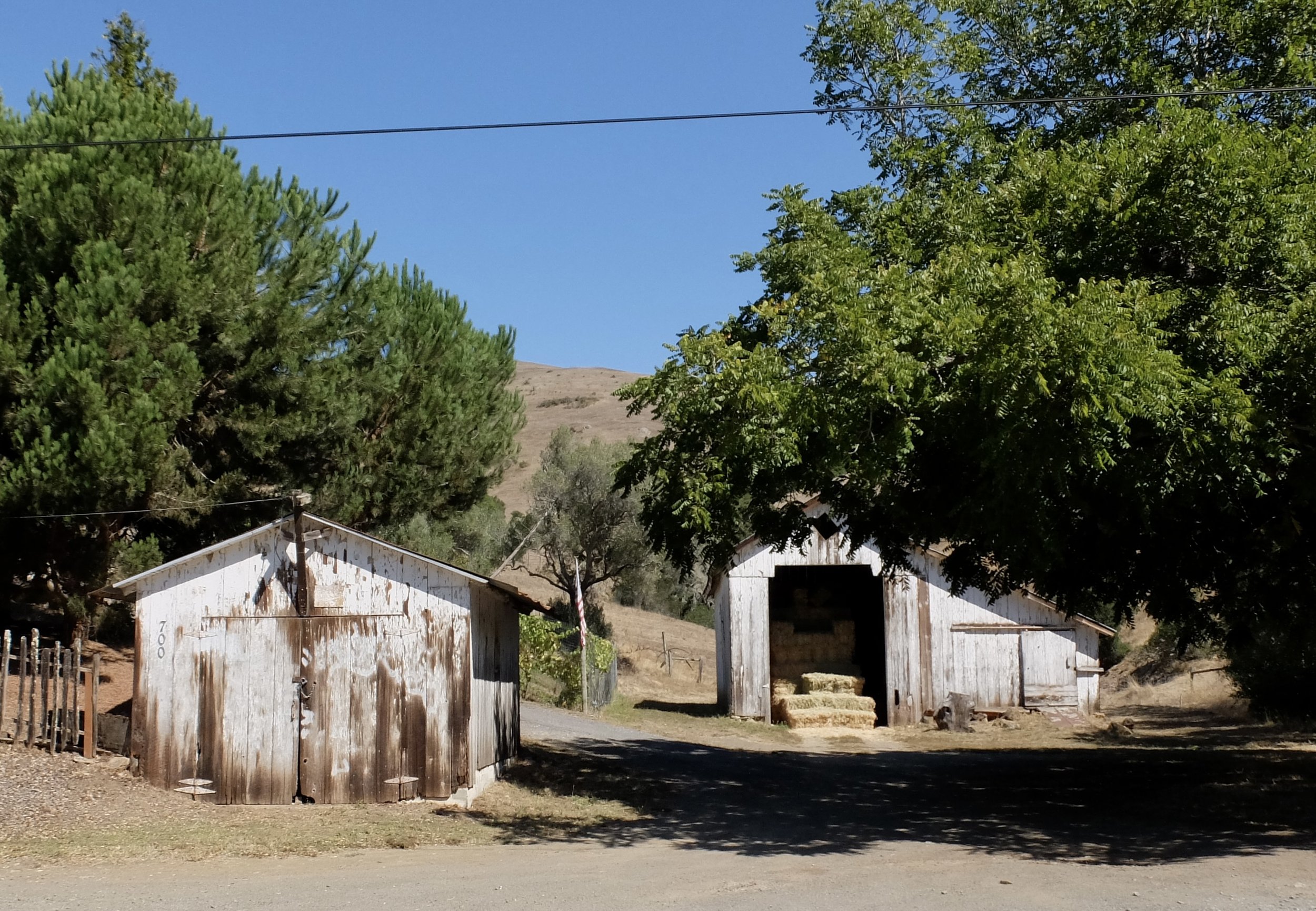
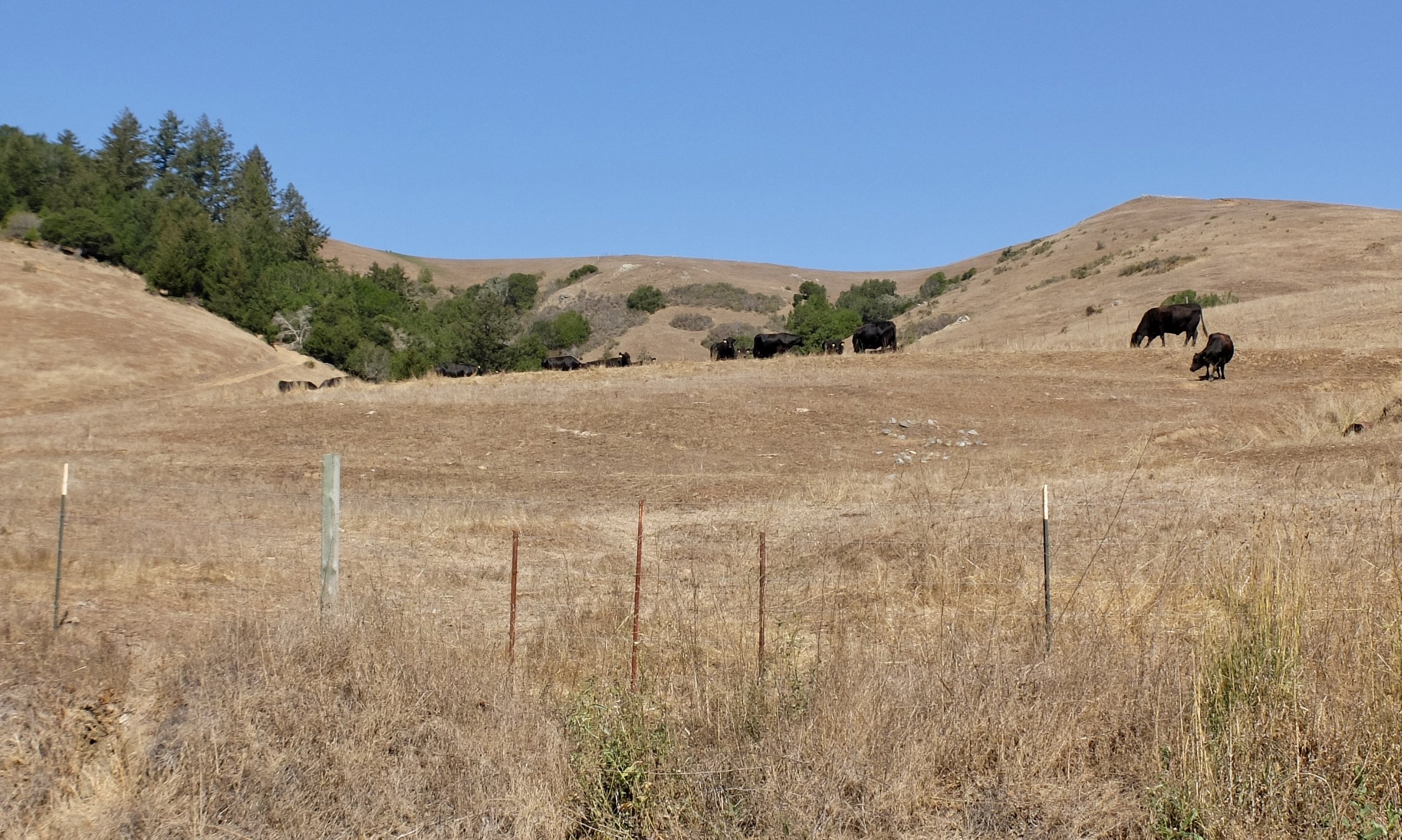
Black Mountain (aka Elephant Mountain) has an elevation of 1,266 feet. Black Mountain Ranch is to the right. They’re named for pioneer cattle rancher James Black who purchased them, along with surrounding land, for $2,000 in 1851. The ranch is now a participant in the Marin Agricultural Land Trust (MALT).
The 1,200 acre ranch changed hands in 2021 for $8.8 million.
"The Buddha barn on Point Reyes-Petaluma Road has been spiffed up by the new owner of Black Mountain Ranch."
Nicasio Creek Bridge c. 1937.
Platform Bridge Rd.
-
-
-
-
-
-
-
Platform Bidge, Tocaloma, c. 1927; a rare rainbow (or pony) arch bridge over Lagunitas Creek.
The Inkwells. a natural swimming hole, at the end of the Cross Marin Trail.
Sir Francis Drake Blvd. coming into Lagunitas. Not much shoulder but very little traffic on a Friday morning.
