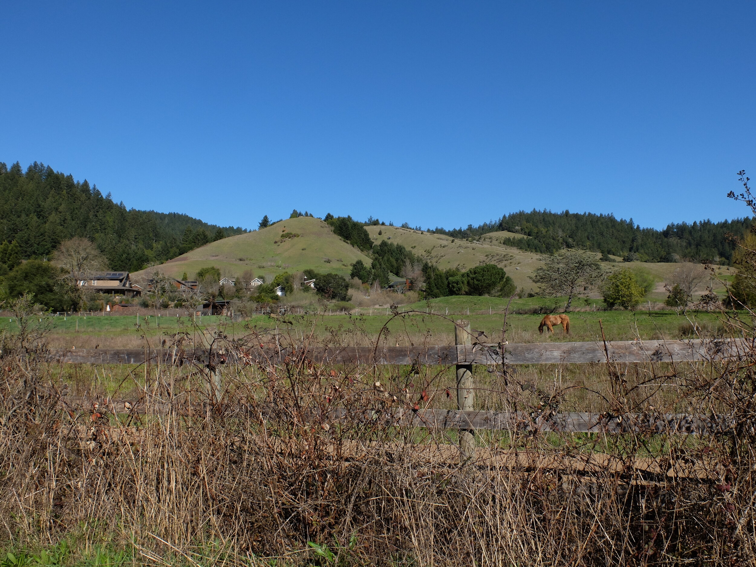
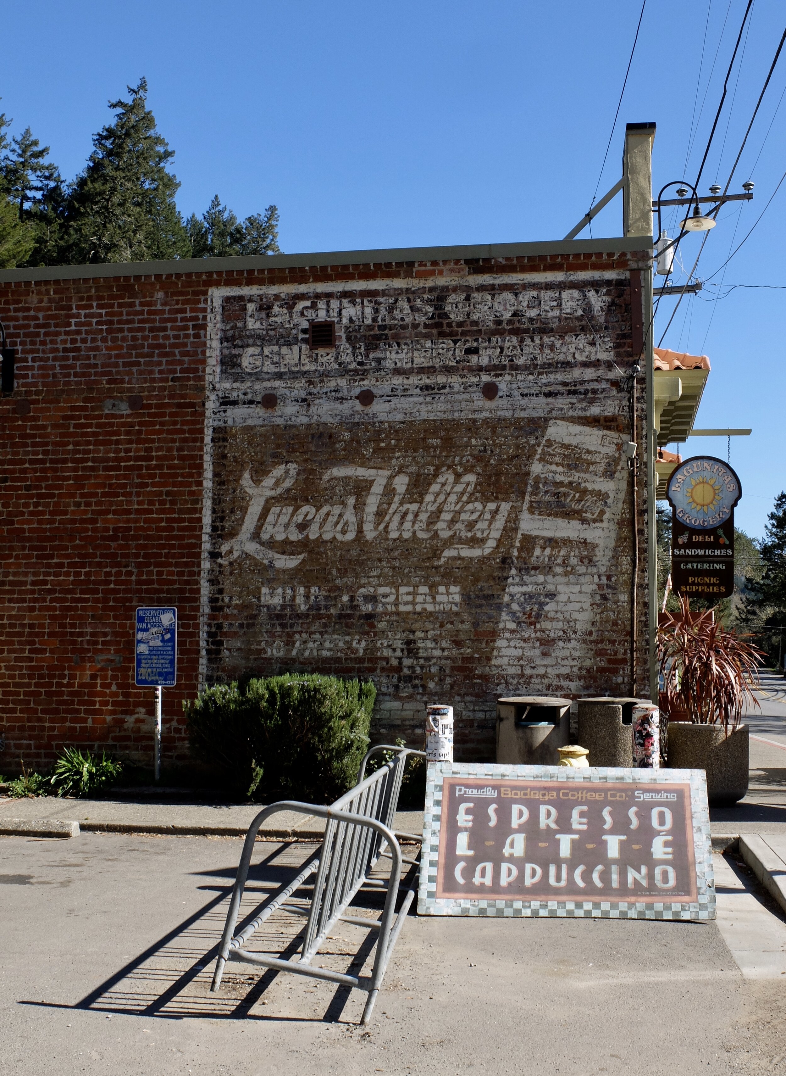
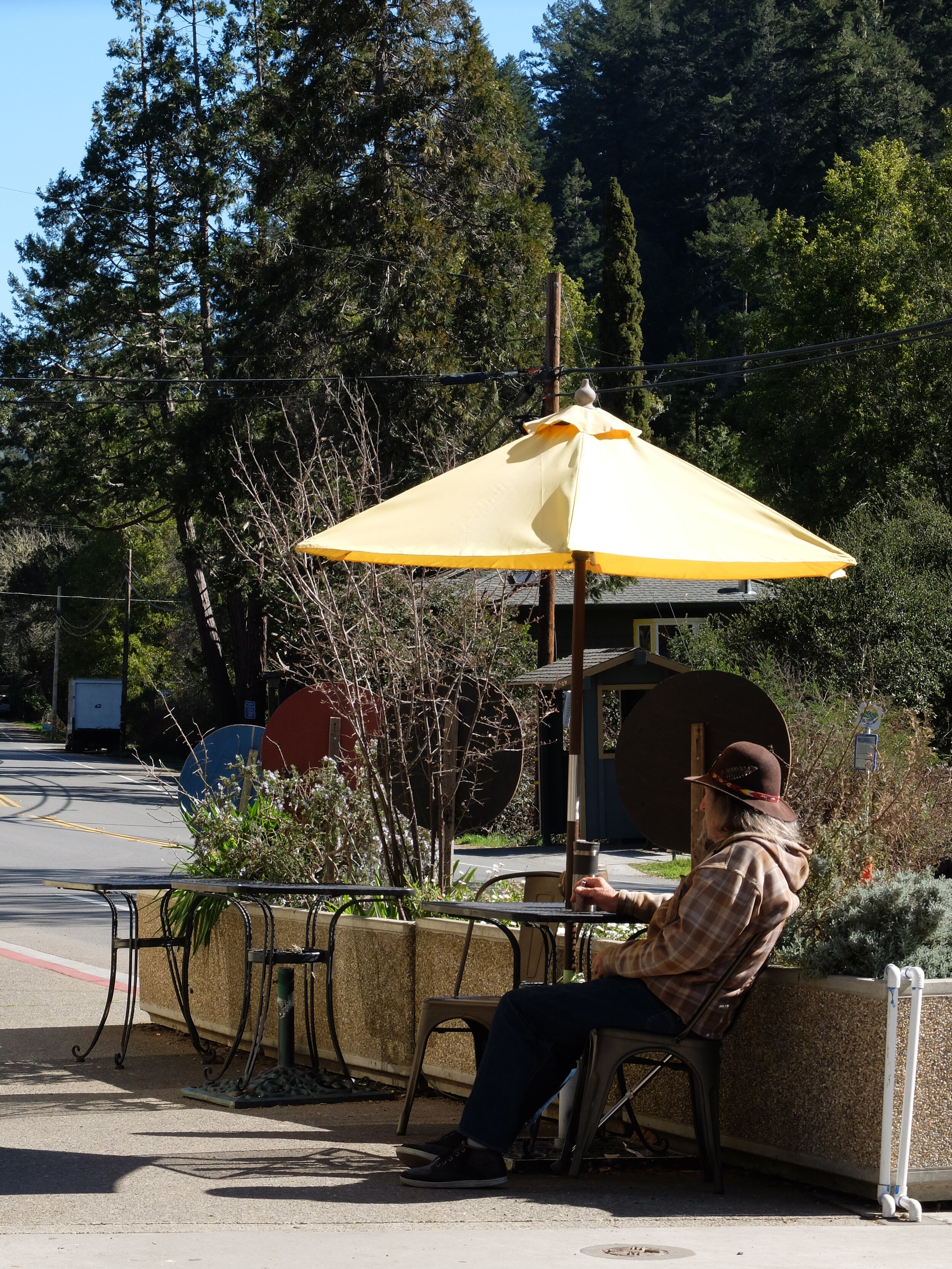
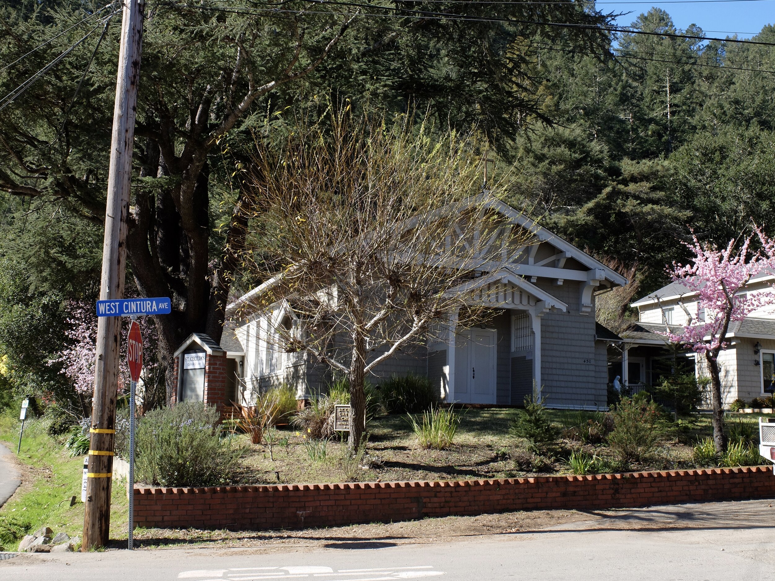
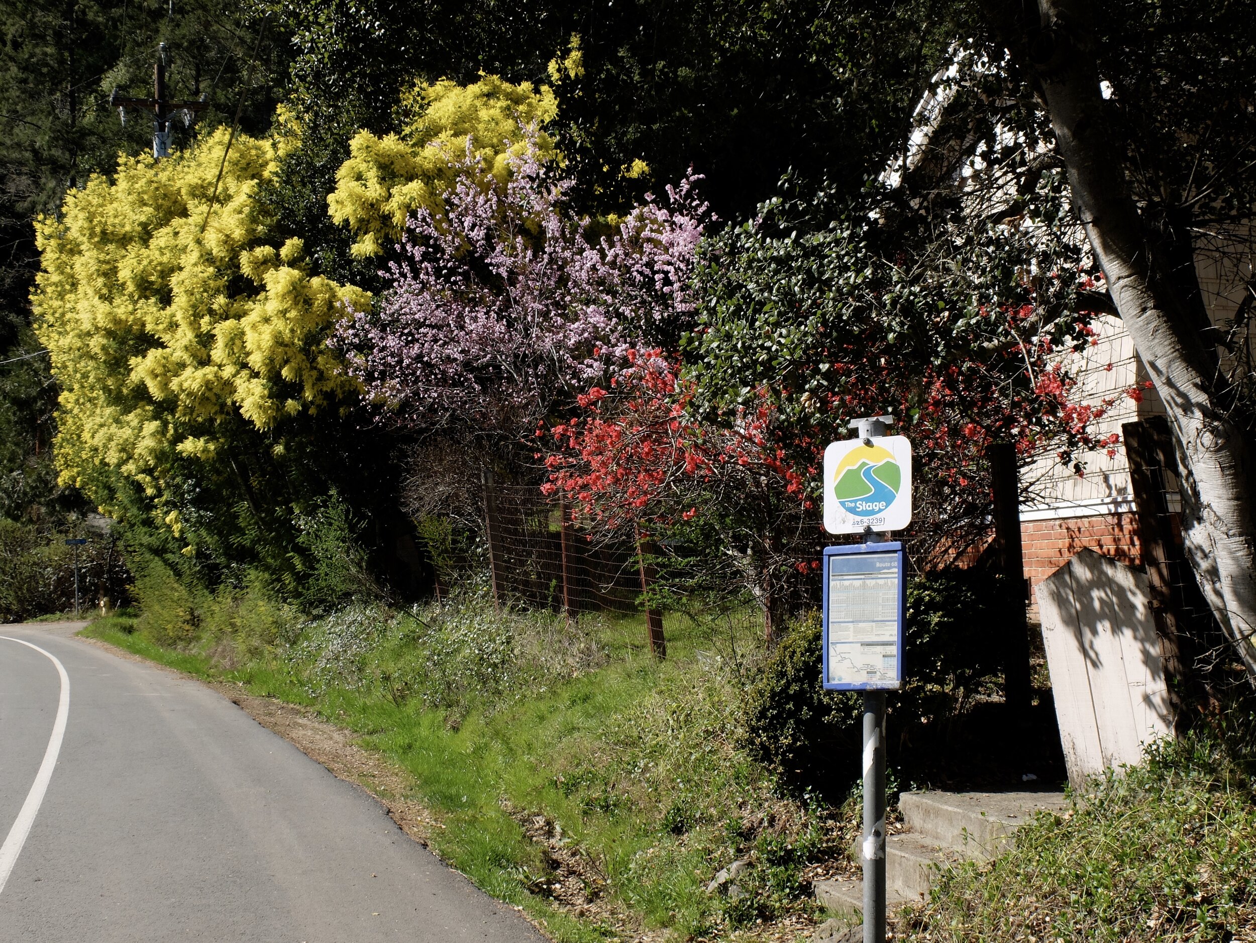
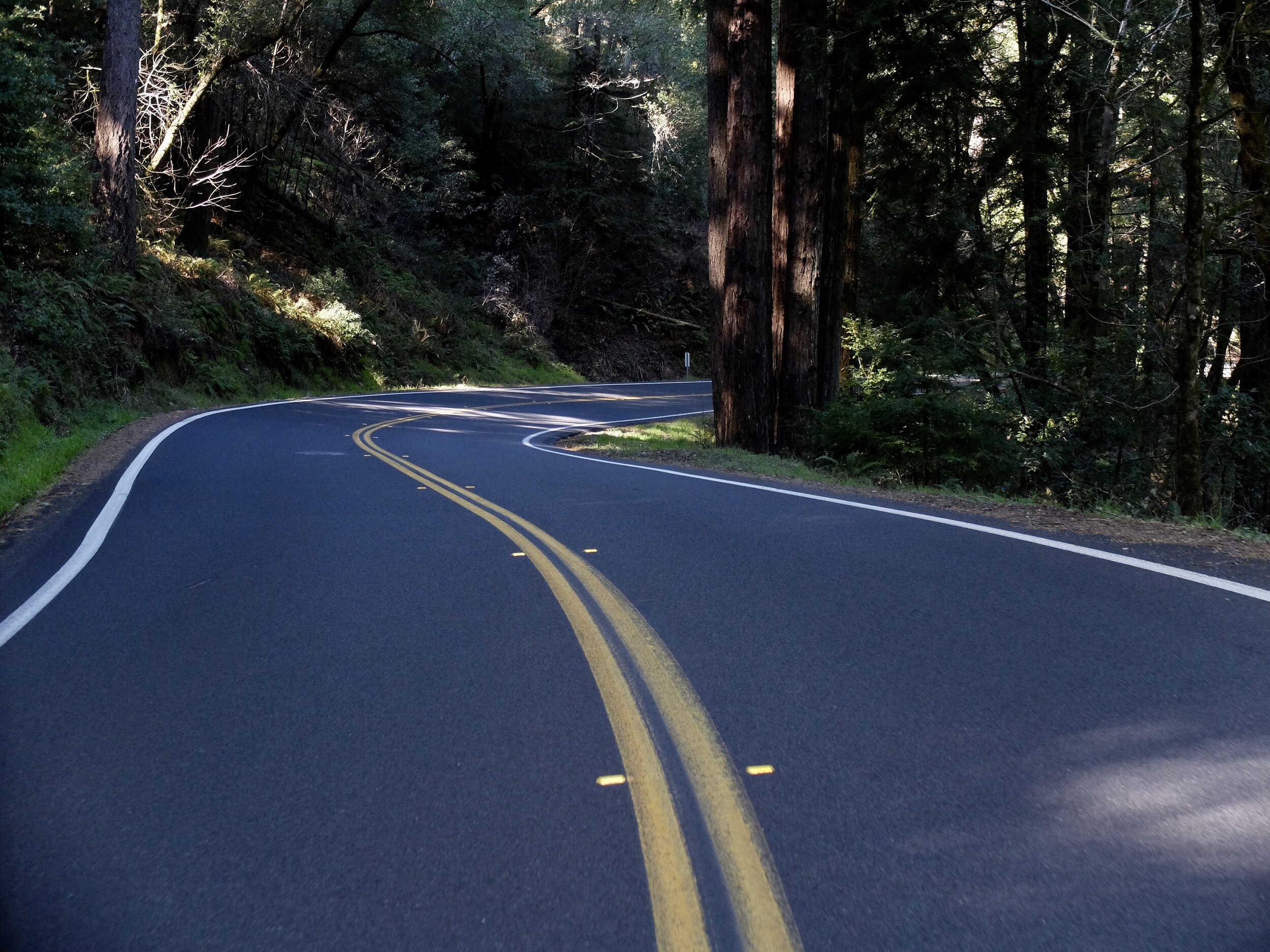
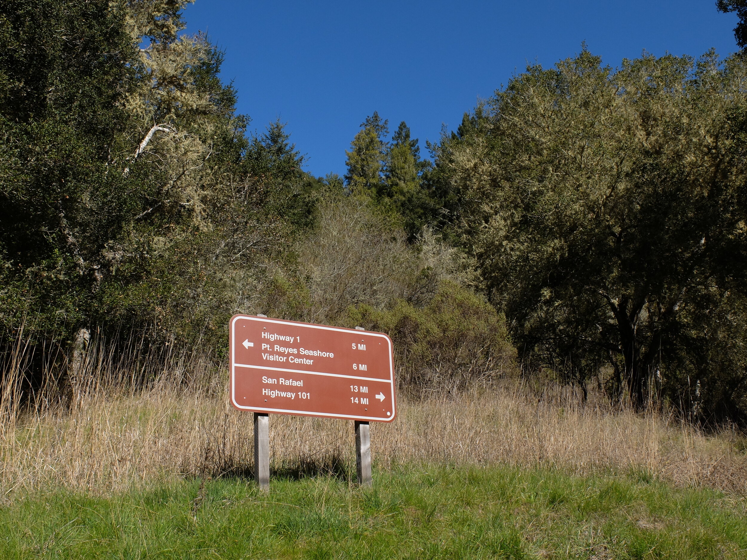
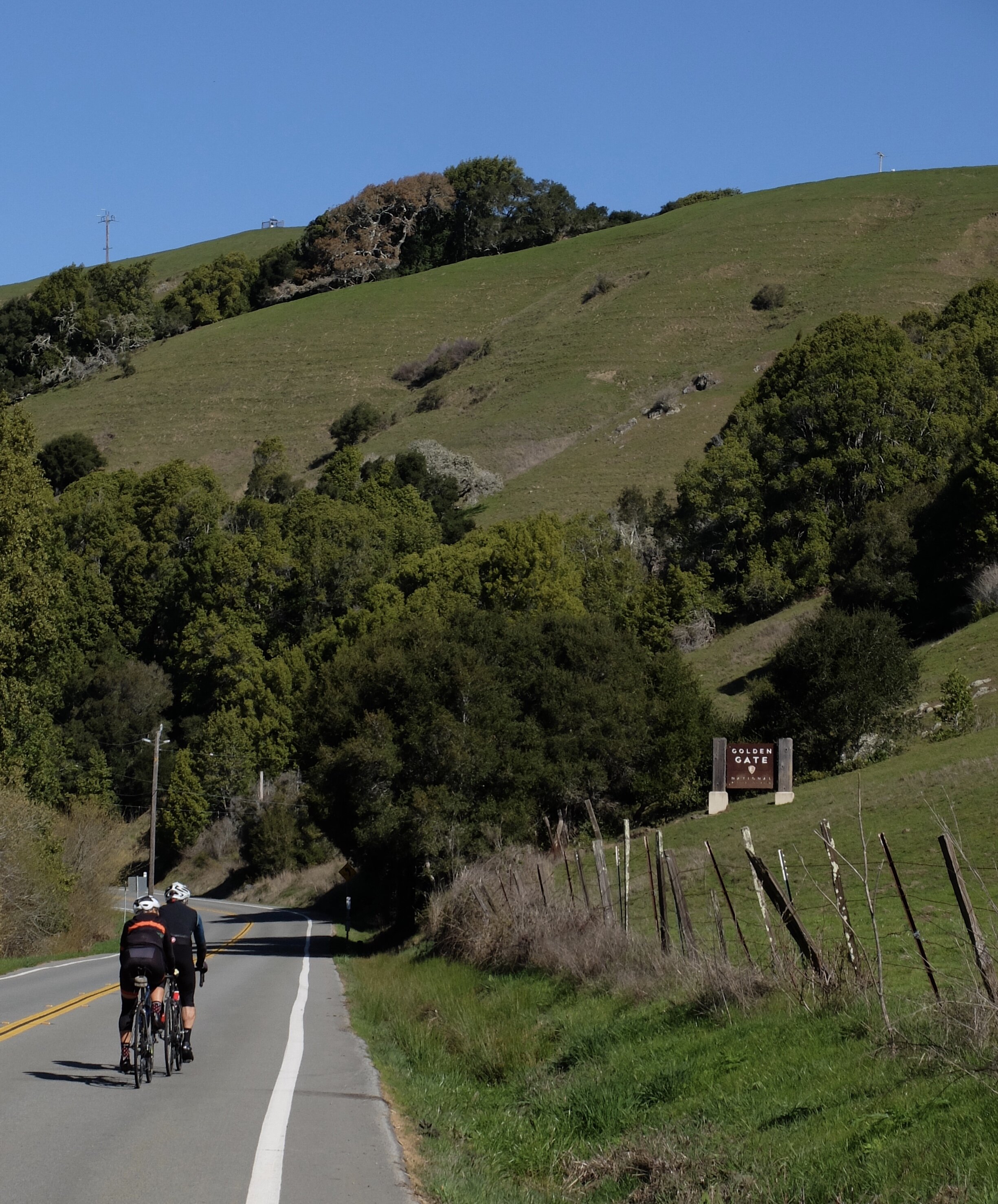
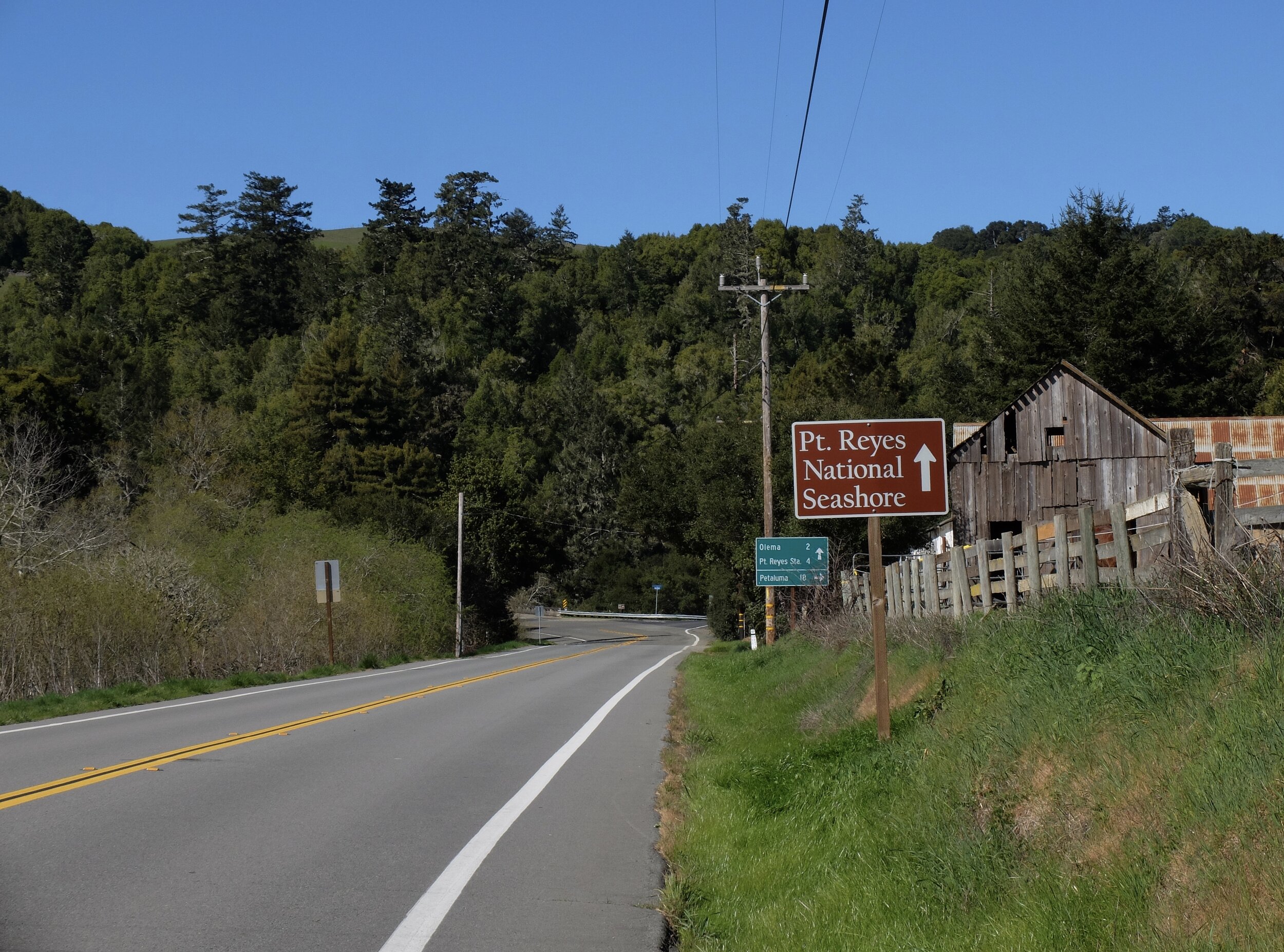
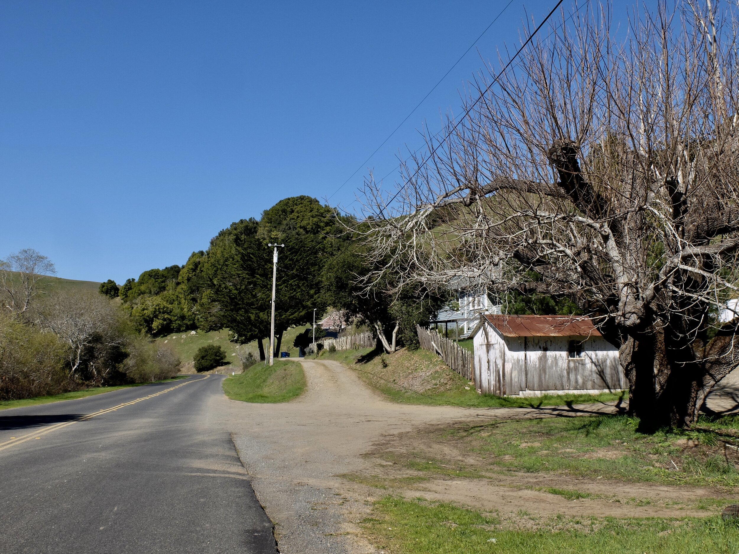
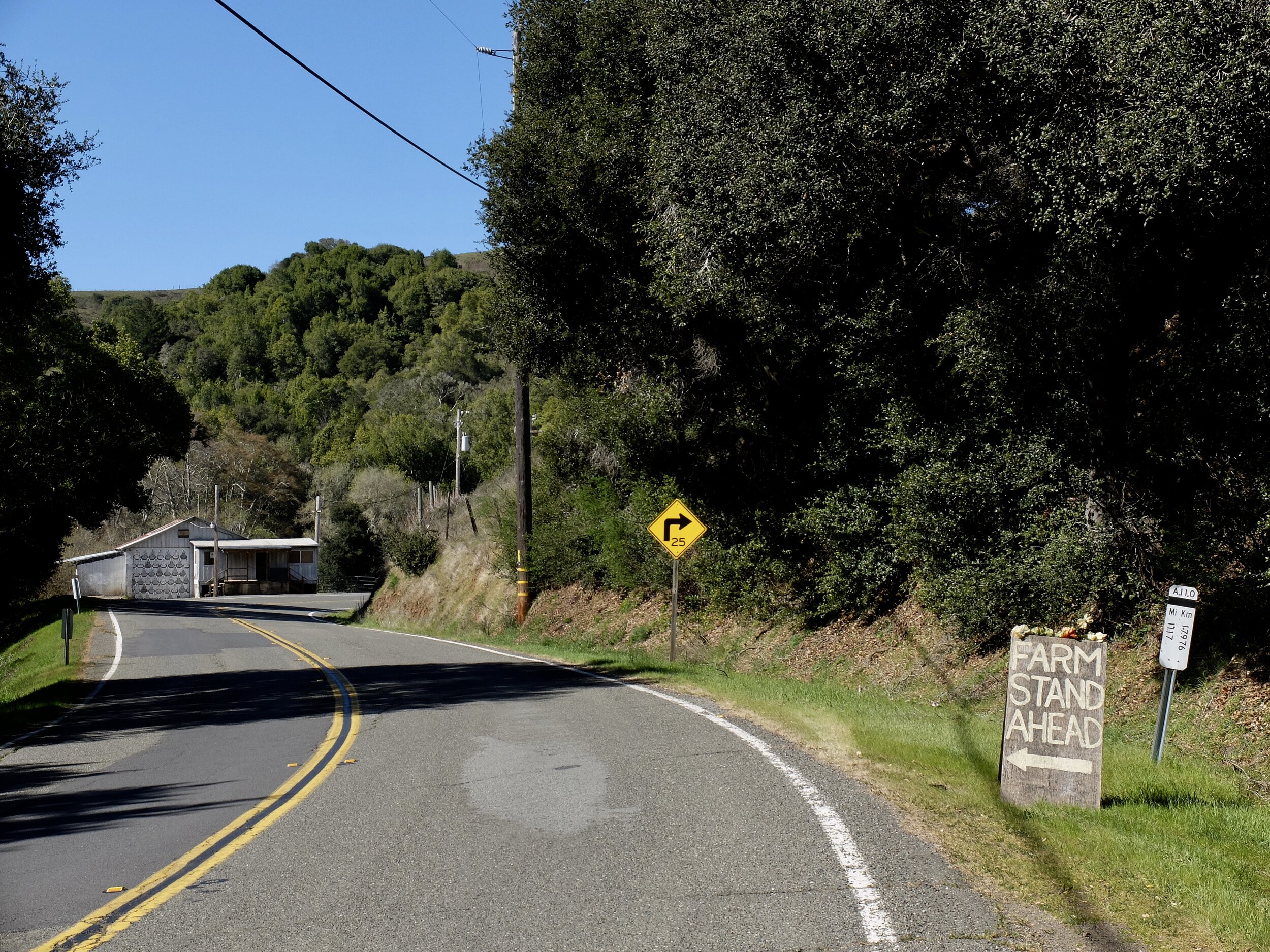
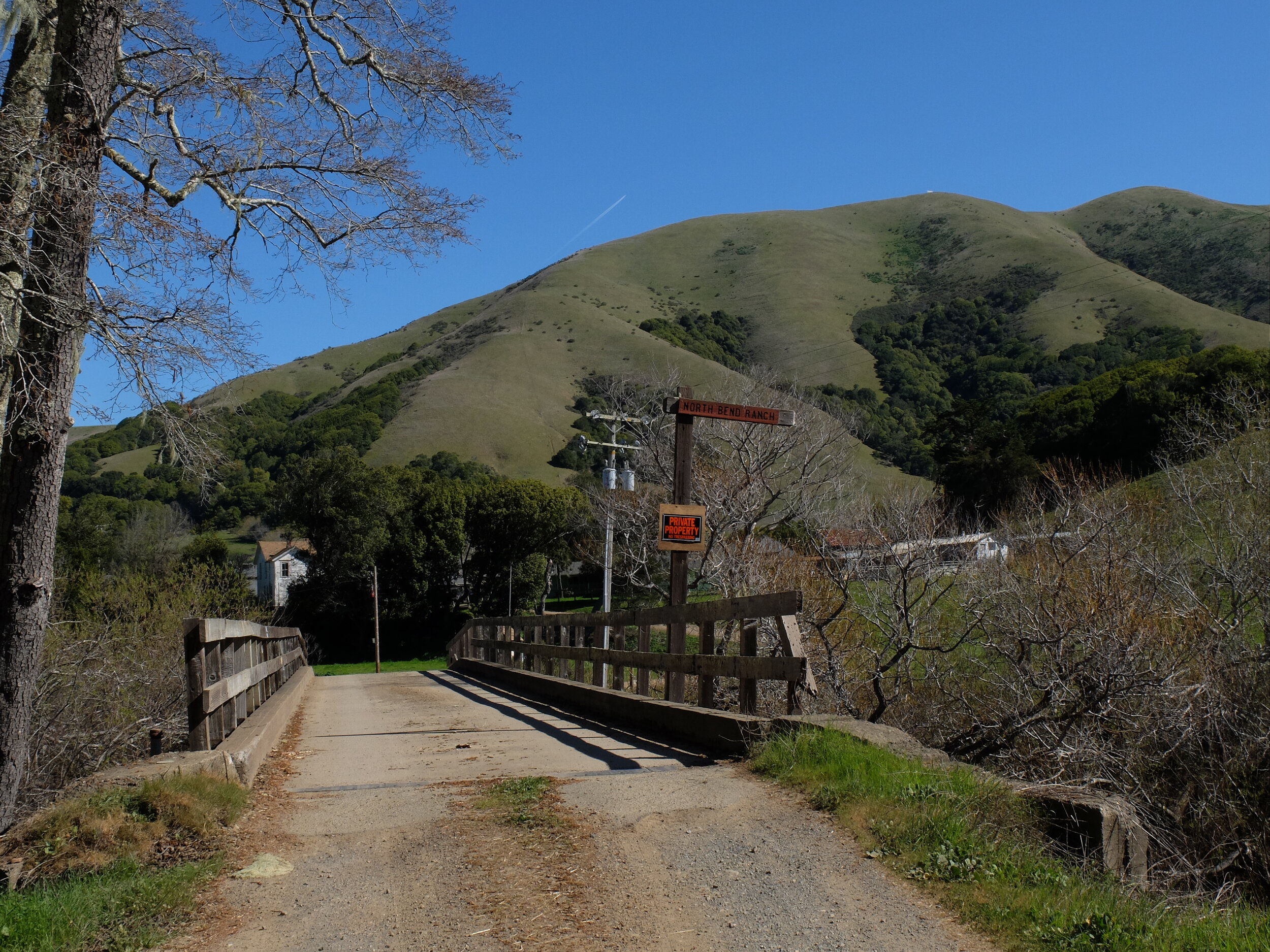
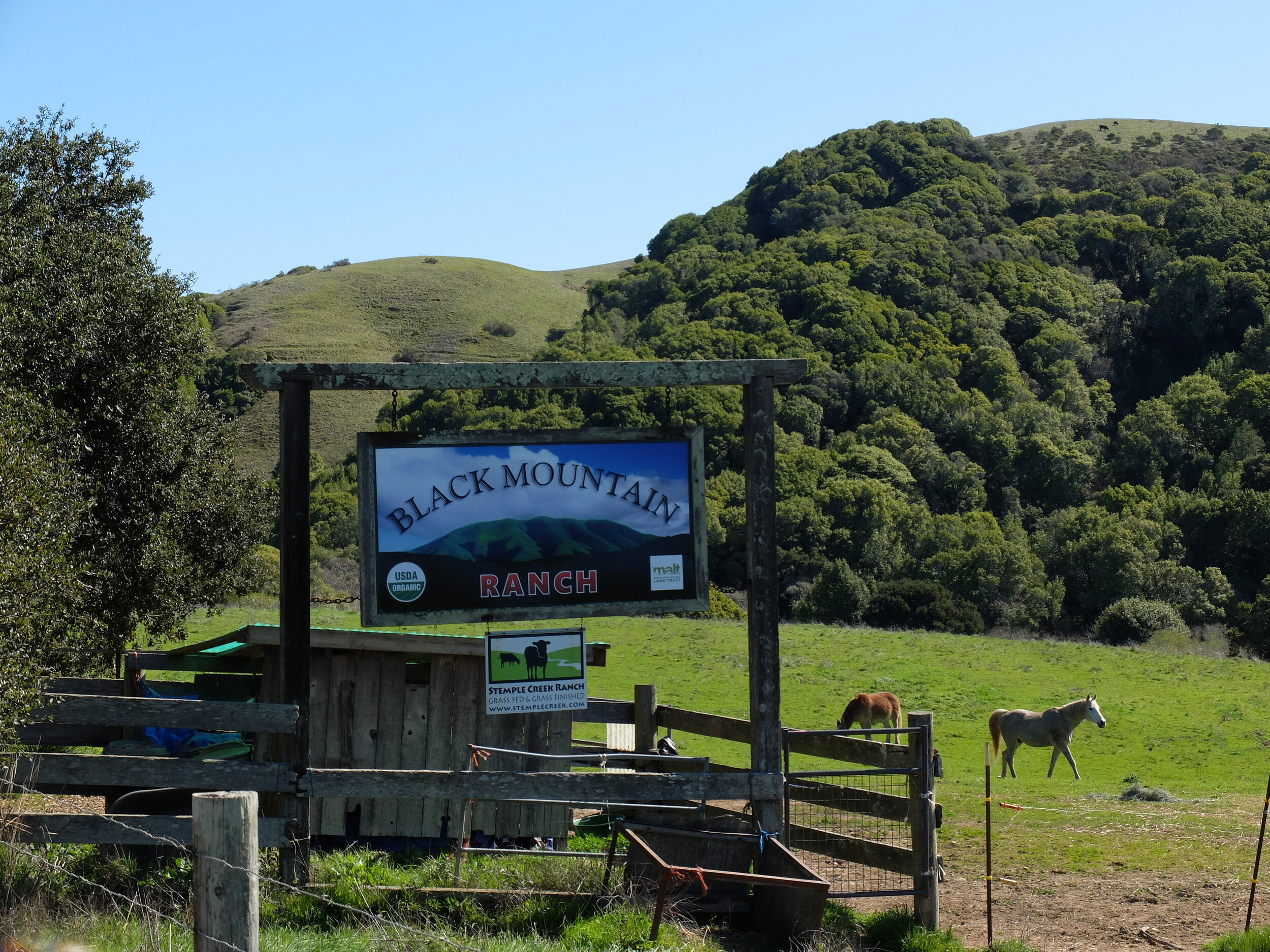
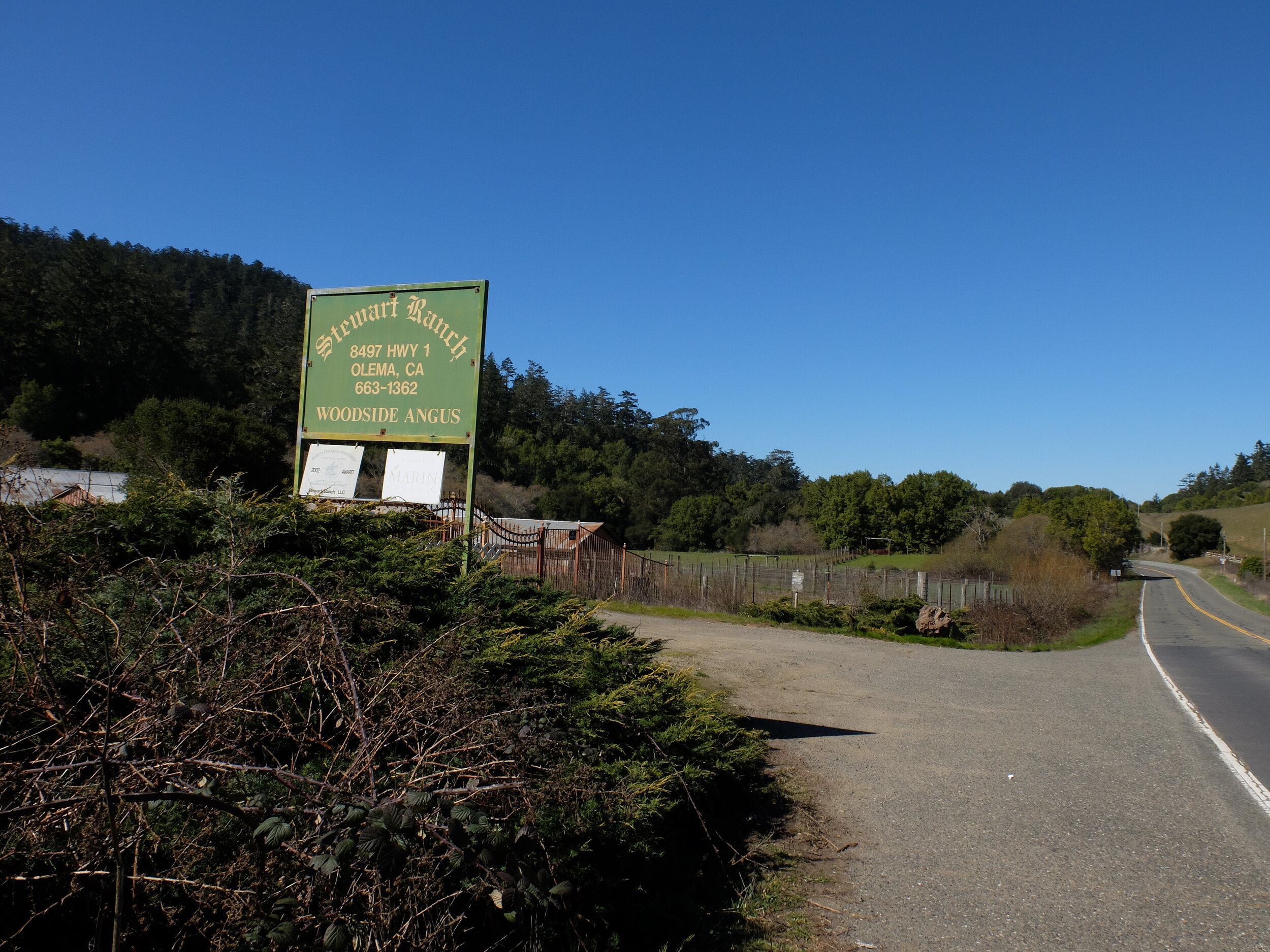
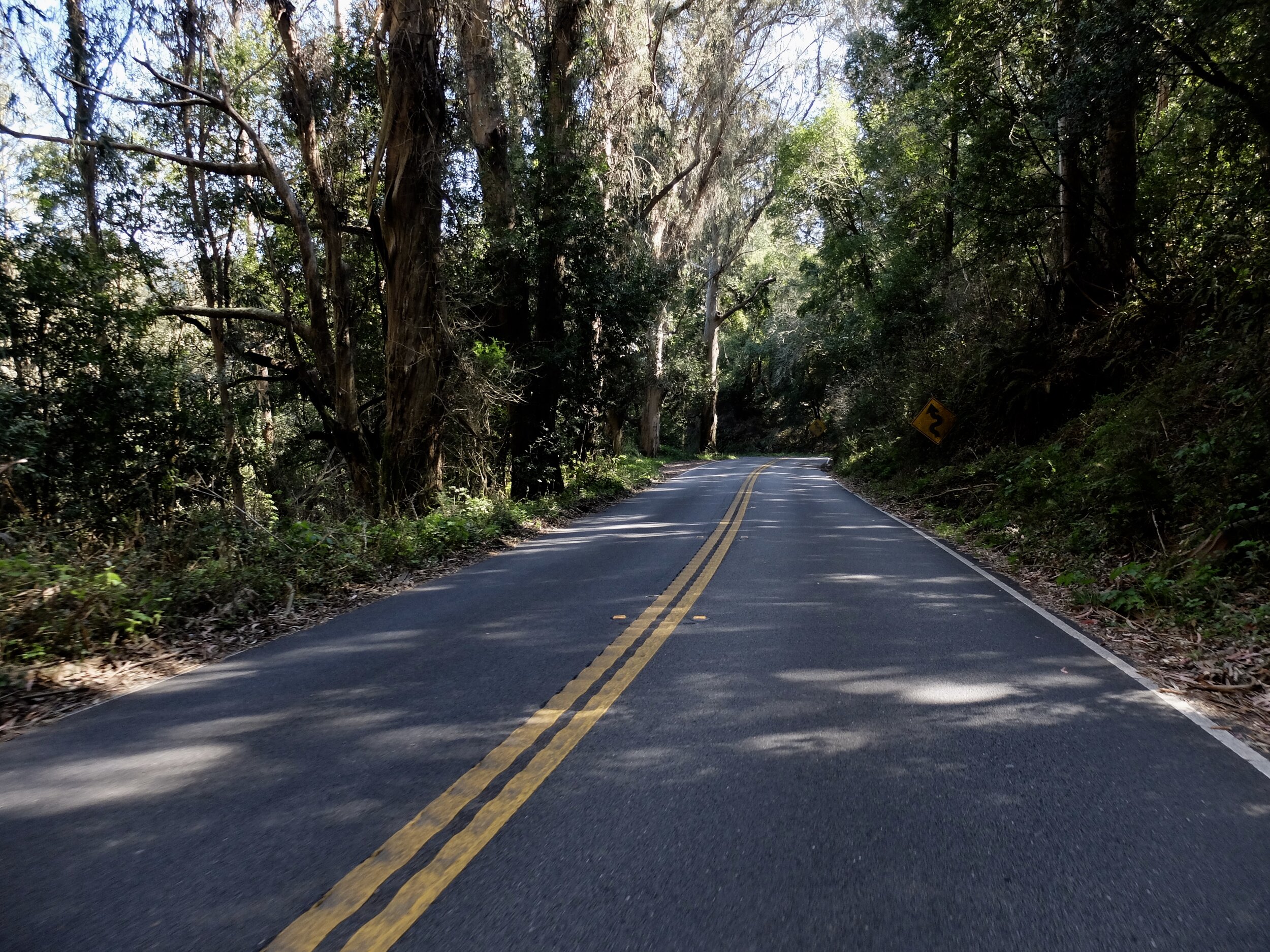
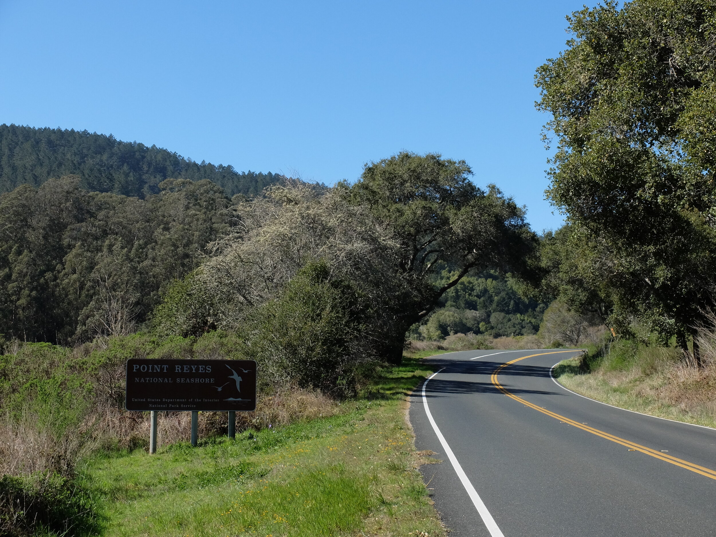
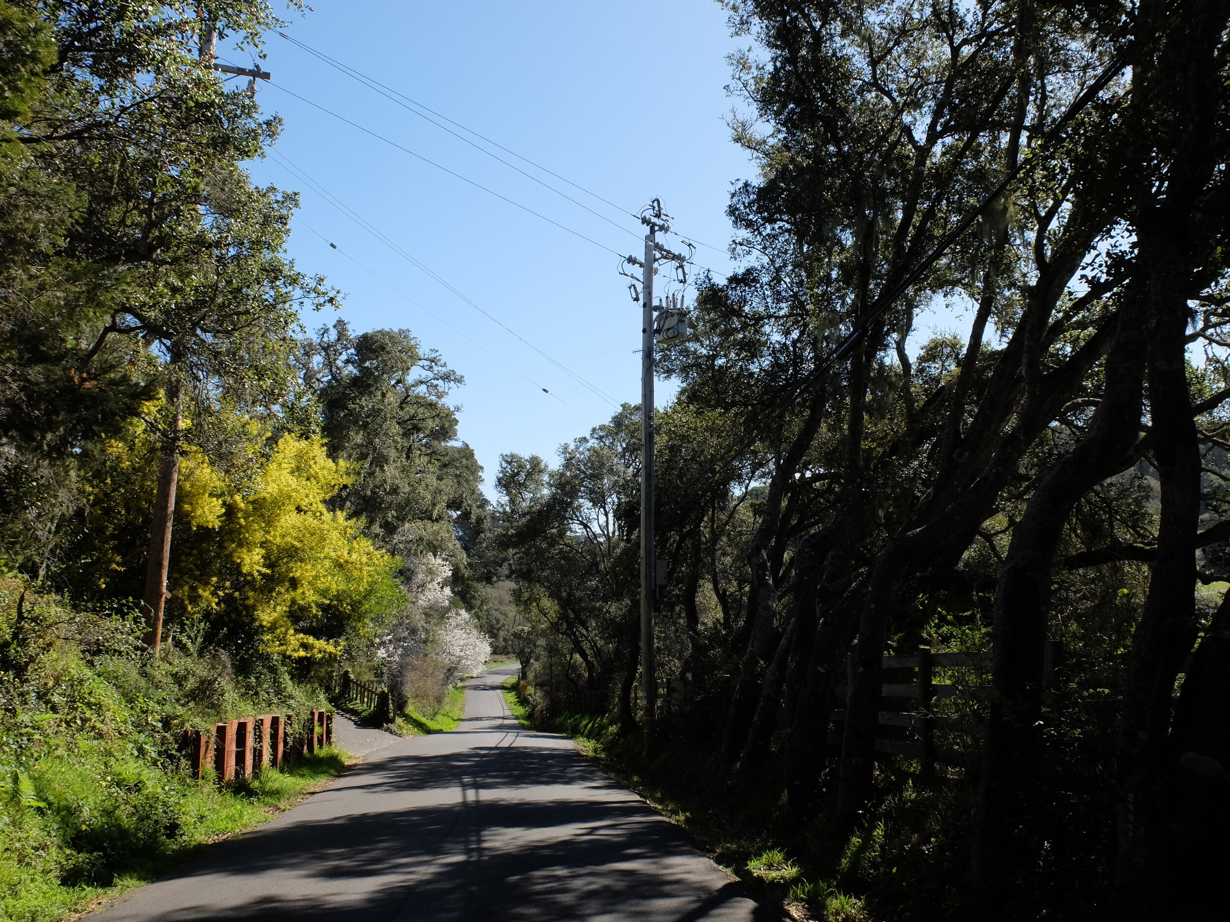
I often traverse these roads on my road bike with my group, The Old Spokes, “As Fast As the Slowest Spoke.”
Sir Francis Drake Blvd, A.K.A. CA Route 1 through San Geronimo & Lagunitas & into Samuel P. Taylor State Park.
-
-
-
-
-
-
-
-
Platform Bridge Road to reconnect with Rte. 1 into Pt. Reyes Sta.
-
-
-
-
-
-
-
-
-
Pt. Reyes Sta.
-
-
-
-
Olema
-
-
-
-
-
-
-
-
-
-
-
Horseshoe Hill Road. I just made a right turn off Rte. 1, not knowing where it would lead.
-
-
Bolinas Lagoon in the background.
When I saw the road going downhill on the left & the Tsunami Hazard Zone sign, I then knew I was heading to Bolinas. They take down the signs on Hwy. 1.
-
-
-
-
Aaah, Bolinas. They don't want you to know they exist, a la "Brigadoon."
-
-
-
-
-
-
-
-
-
